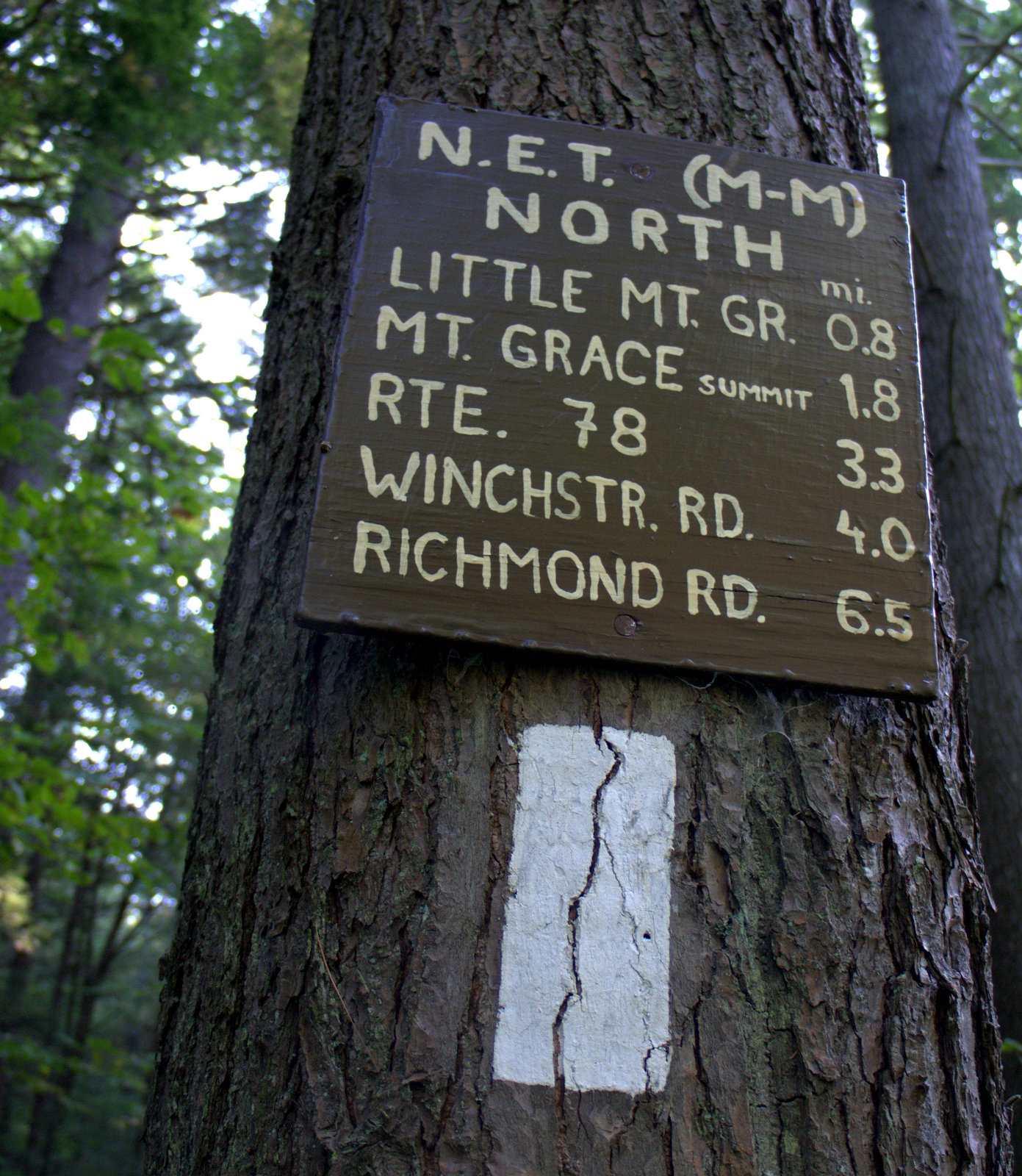
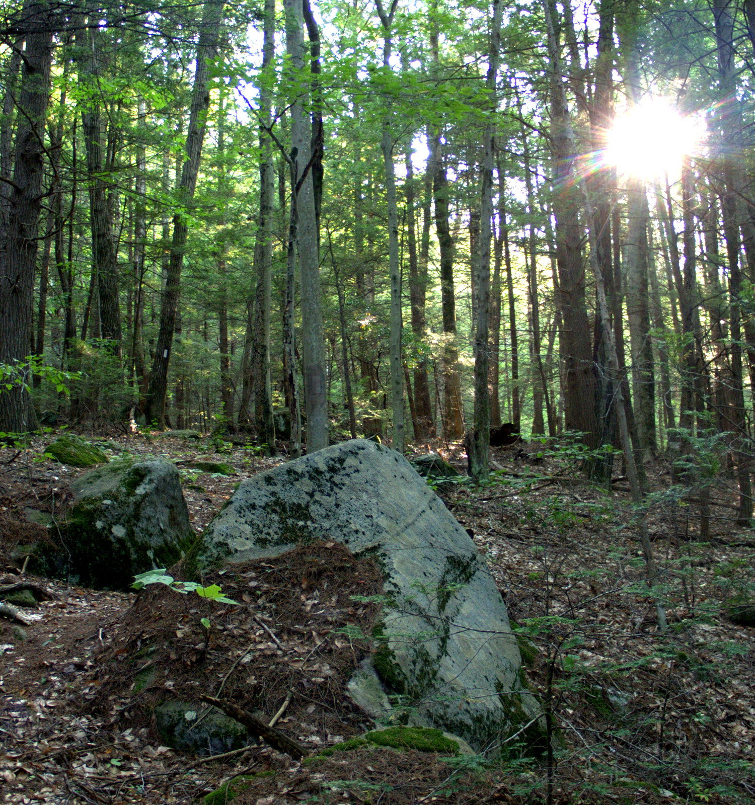
Welcome to New Hampshire, the Granite State!
The M-M Trail in New Hampshire is not officially part of the New England Trail. I believe the federal NET designation was originally meant to go all the way from Long Island Sound to Mt Monadnock, but the New Hampshire portion was ultimately excluded out of fear that private landowners would evict the trail. Whatever. Same trail, different name.
 |
| New Hampshire M-M Trail overview. |
My goal for our little New Hampshire vacation was to get from Greenwood Road near the state border to Rt 124 at the base of Mt. Monadnock. It's a distance of about 16 miles, which isn't too far, but there is a long remote stretch right in the middle as the trail traverses the long axis of Little Monadnock, and this mucked up my plan to split the trek into two 8-mile walks. I decided to be conservative and leave Little Monadnock for the following day, setting Widow Gage Town Forest as my destination, a distance of about six miles.
 |
| Pretend this is granite. |
My fractured hand was still in a cast from a fall just before the NH/Massachusetts line, but healing well, and as long as there weren't any big scrambles I figured I'd be OK hiking. It held up pretty well for the hike, but I did have a lot of trouble taking pictures. I finally abandoned use of the 'real' camera and just used my phone. But I kept dropping it and accidentally quitting out of the camera app.
 |
| Back on the trail! The first mile was in the woods. |
There are no major features or parks between Greenwood Road and Widow Gage. Just lots of space and trees and gravel roads. We drove up from Connecticut on a Sunday and I was worried that I'd be sharing the trail with hoards of ATVs because so much of the trail does follow old roads in this area. Getting an early start can help, but we didn't arrive at the trailhead until 11:00 am. All was quiet, though, and I headed out down the trail through a lush and peaceful forest.
 |
| And then there was about three miles of road, mostly gravel |
After about a mile of lovely forest trail hiking, the 3-mile road walk began. It wasn't a bad road walk, just a gravel road with a scattering of dwellings along Monument Road. Music pops unbidden between my ears fairly often and
of course John Denver showed up singing Country Roads. It wouldn't stop. I think I finally sang along for awhile.
 |
| Cue up John Denver's "Country Roads" |
 |
| Rt 119 - The end of M-M Section 19. |
The road was quiet aside from the occasional rooster and barking dog, and I didn't see any cars until I got to Rt 119. The trail followed the highway for about 1000 ft and then turned onto another gravel road. A pickup truck drove by and the driver waved.
 |
| County Road |
As the trail turned north onto a 4WD road, a sign announced a brewing company further up the gravel road. "Riders welcome." Riding what? ATVs? Motorcycles? Snowmobiles? All of the above? I had a feeling this would be a popular area for ATVs. Still hadn't seen or heard any, though. I don't have any problems with ATVs in a rural place like this, I just don't enjoy walking through an area where people are riding due to the noise and the dust. The same way I don't have a problem with people driving cars, but don't enjoy walking along the highway as they go whizzing by. This area seemed like it might have room for everyone, though.
 |
| Dang. I forgot to pack my growler. |
At one point I had to step off the 4WD road for a convoy of pickup trucks to pass. Each of the drivers waved politely as the trucks crawled by, and each truck had dog crates in the back. Looked like hounds, the kind of dogs that hunt by scent. My guess is they were hunting bear. In Connecticut, the only New England state without bear hunting, people routinely feed the bears (ie bird feeders) and freak out as those trained bears keep coming back for more. I spoke to a man recently who came out of the shower only to discover a bear had opened both the back door and the freezer and was munching a frozen chicken pot pie. He tried to scare the bear away but it just looked at him and kept eating. Occasionally these trained bears start following people around looking for food and even start to think about eating a stray hiker, as happened in New Jersey. I don't think that would happen here.
 |
| Bear hunting convoy |
Though the roads are not a bad walk, I was delighted when the M-M turned east off the 4WD road and headed down towards Tully Brook as a hiking trail. Before long there was a sign marking a "dry-shod bypass" that said I could follow blue blazes to avoid swampy areas on the M-M and the two trails would rejoin in half a mile.
 |
| Bypass Trail |
It wasn't very wet, so I opted to stay on the M-M and take my chances with the swampy areas. I was glad I did, but it's pretty obvious that some parts of the trail get water logged during the wetter parts of the year and the bypass trail is needed. For the rest of the year, this is a beautiful trail, passing through mossy lowlands.
 |
| Beaver dropped a tree across the trail |
There was beaver sign and I wondered if they were the caused of the swampy areas and feared the trail might be blocked by a beaver pond up ahead.
 |
| Mossy lowlamds |
The trail skirted a big open marsh that's part of Tully Brook. Looked like a good place to see moose.
 |
| Tully Brook Marsh |
There was a trail register at the Tully Brook crossing. This a pretty remote area and there weren't very many entries considering the logbook was placed four years ago. I took a break and read them all.
 |
| On a wild moose chase. |
Here are all the entries from people hiking the M-M or NET:
 Pioneer Valley Hiking Club 11/2/2014 Started the MM in spring 2013. Almost there!
Patches 12/27/2014 Southbound M-M (Monadnock to NET to CT to ocean) The trail markings have been awesome so far!
Lara & Diane 8/8/2015: Finished NE Trail yesterday! 215 miles from Guilford shore in CT! Hiking 20 m to Mt Monadnock today & tomorrow.
Charlie & Bill 10/2/2015: Hiking the NET to Mt Monadnock. Started in Guilford, CT 6/24 doing two hikes a week. This is our 24th hike, almost done.
Nick C. 3-20-2016: Started in Guilford CT to thru hike the NET, now on to Monadnock to finish the M&M!
Jeff & Judy from Warwick, MA 5/9/2016: Day hiking S->N from CT. One more hike after today to reach the summit of Monadnock. This has been a wonderful trail with both good/bad surprises. Hopefully the Long Trail next. Happy Hiking.
Chad & Beth 9/20/2017: Hiking NET - after today 18 miles left!
Trailhead Tessie from Shelton, CT 10/1/2017: Started in Guilford in Jan. 2012 before that part of the trail even had blazes. Broke my hand at the NH border. Sorry about the sloppy writing. Have a cast on. Gonna finish if it kills me. PS This section is great - thank you!
I had a little trouble finding the trail after it crossed Tully Brook, intuitively thinking it went left when there was actually a sharp right into the denser growth. One thing they do differently up here that I don't understand is the lack of offset blazes to let you know whether the trail is going left or to the right. If a turn is marked, it's with two blazes, one directly above the other. That gives you no clue about which way to look for the next blaze. Why not make the two blazes offset, which is pretty standard? At the Tully Brook crossing, an offset right turn blaze would have instantly clarified that confusion.
 |
| "Widow Gage Road." Notice the turn blazes? I didn't. |
Upon reaching Widow Gage Town Forest (Town of Fitzsimmons), I started seeing red markers for a walking loop, then the M-M joined an old road for a bit. I was looking for blue markers on the right to get down to the Widow Gage parking area, but they showed up on the left instead, so something was wrong there. Checking the map, I finally realized I had missed a turn and was no longer on the M-M Trail. Tracing my footsteps back a quick 200 feet, I found the missed turn. I had actually taken a picture of it a few minutes earlier, not realizing it was a turn, because there was a stone wall, cairn, and town forest marker. The double blazes alerting hikers to the turn were barely visible, and the aligned double blazes really don't jump out to hikers used to offset blazes for turns. Also, the New Hampshire blazes are about half the size of the standard NET blazes, and often faded. So although there are consistent white blazes along the entire NH M-M Trail, you have to pay very close attention to stay on the trail.
 |
| Photographing the turn as I'm missing it |
I had texted my husband and he wasn't going to be there for awhile, so when I got to the blue trail I opted to take the longer option and go around the loop counterclockwise. The
trail map showed a beaver pond and scenic overlook, as well as the "Whitcomb Cellar Hole" in that direction
 |
| Taking the long way. Love the metal signs. |
Who was the Widow Gage? Who were the Whitcombs? I don't know, but it's a lovely town forest, with well-marked trails.
 |
| Whitcomb cellar hole - Blue Trail |
I had wondered if I shouldn't try and make it over Liitle Monadnock that afternoon. It didn't look that far on the map. But it was close to 3:00 pm with sunset around 6:00 pm and my hand was in a cast. If anything went wrong, darkness would be upon me. Instead, I took my time and enjoyed the Widow Gage property.
 |
| Beaver Pond - Blue Trail |
 |
| Beaver Pond - Blue Trail |
At the parking area, a note in the kiosk gave the street address, 668 Rhododendron Road, and there was a street number nailed to a tree out at the road entrance. This is a great idea. Emergency response systems tend to be based on street addresses, as do gps devices (try getting an Uber ride to a trailhead). Yet parks and trails don't normally have addresses assigned to them.
 |
| A trailhead with a street address! |
This bit of information turned out to be pretty handy when I discovered my ride was waiting for me at Rhododendron State Park instead Widow Gage Town Forest. I was able to text a street address for clarification.
*Note that for the New Hampshire posts I'm going to use the sections as defined in the M-M Guidebook, but you should be aware there's a website for the NH M-M trail that uses different section numbers, with Section 1 beginning at the Massachusetts border. This post covers Sections 2 & 3 as defined there.


 Pioneer Valley Hiking Club 11/2/2014 Started the MM in spring 2013. Almost there!