 |
The Plan: Go north from Main Street via the unmarked Ridge Trail
to the Appalachian Trail and on to Goose Pond Rd |
Last day of walking through New Hampshire for 2018 and the goal is to reach the Appalachian Trail. I was looking forward getting back on hiking trails.
 |
| More cute/creepy stuffed people in front of this church |
I got dropped off at a rail trail parking area on Main Street in Enfield, across the street from the Community Lutheran Church, and headed north on Oak Grove Street.
 |
| Oak Grove Cemetery |
Another wet day. The forecast was for cloudy. From what I can tell, if the New Hampshire forecast is for cloudy, it will be foggy and misting. If the radar shows no rain, just clouds, it's foggy and misting. I packed an extra pair of dry boots and socks in my pack for when the morning mist finally dried off. That had worked well the day before.
 |
| Cemetery Road |
I was on Oak Grove Street for only a few steps before turning into Oak Grove Cemetery, following the cemetery road as it headed west and then north. The gravel road came out onto Route 4. I turned west onto the busy highway for a few hundred yards and found the southern trailhead of a mostly unmarked trail variously called the Ridge Trail, Orange Diamond Trail, or Tom Linell Ridge Trail. This was private property and there were no markings of any kind indicating there was a trail here. Nor was there anywhere to park.
 |
| Ridge Trail starts here on Route 4 |
I only found out about this trail after purchasing a map booklet of the Appalachian Trail in this area. I had planned on walking up the road for five miles, but the booklet showed a trail going down the Moose Mountain ridge. After some research, I learned the trail is unmarked and can be challenging to follow. The town of Hanover had some maps online and a brief description of the trail, saying it went all the way to Route 4 in Enfield. However, I could find nothing showing where exactly the trail started on Route 4. I tried contacting the Town of Enfield and got no response (and they have no trail maps online). Hanover, however, has a Trails Committee and a staff person listed, so I tried that as well. I got an immediate response from Vicki Smith, who was able to hunt down some gps coordinates for the trailhead and path through the meadow. Thank you, Hanover!
 |
| Ridge Trail is in red, Appalachian Trail in blue |
As you can see from my gps track above, the Ridge Trail closely follows the ridgeline. I had a glitch finding the correct entry into the woods from the meadow. The waypoints I had received got me part way up the meadow, but then there was a "Y" in the traveled paths. I had planned on take the left option, which lead more directly to the ridgeline, but the option to the right had some red survey tape, and I remembered being told that the Ridge Trail had been marked with some red flagged a couple years ago. Seemed like I was supposed to go right. So I turned right and continued for a third of a mile, walking past a pond, but I could see from my gps that the ridge was rising above me to the west. Didn't feel right.
 |
| Looking for the trail entrance from the meadow. |
Went back and tried that left option. Bingo! Boy was I happy to see some red survey flagging around the trees where the traveled path entered the woods.
 |
| That's the Ridge Trail! |
This was fun. The Ridge Trail has obviously been traveled for many years, but not very frequently. There is a trampled tread in many areas, and a way that's mostly clear of brush and blowdowns. But there are no real trail markings other than very infrequently strips of survey tape.
 |
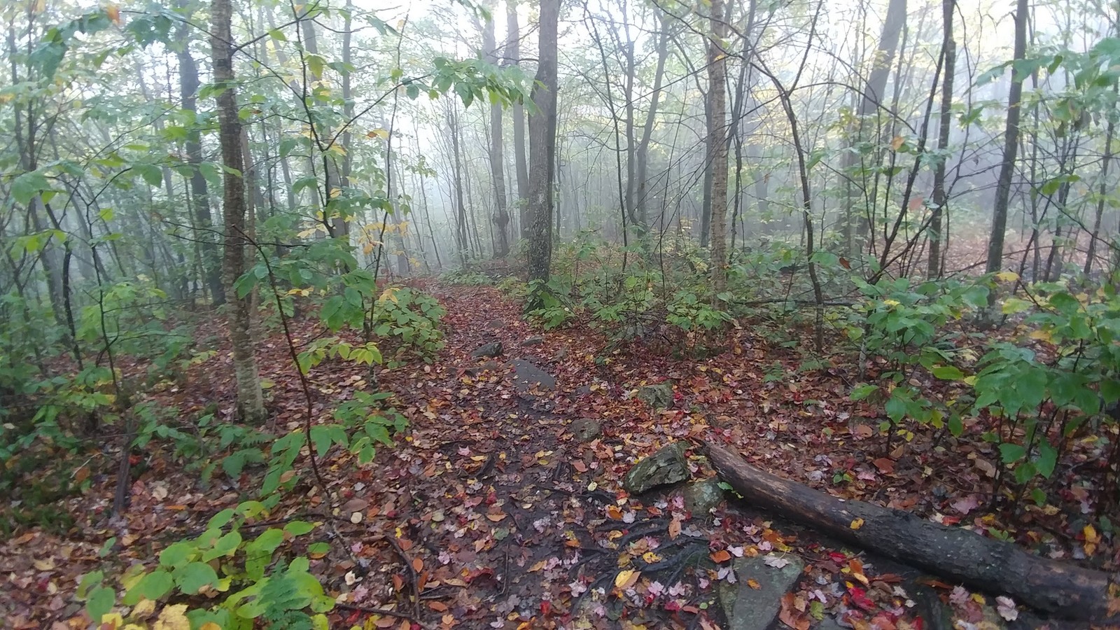
| Ridge Trail. Just keep going forward. |
Most of the time it was pretty obvious which way the trail went, especially at the beginning where it seemed to follow an old woods road, but sometimes I had to stop and guess which way to go. I almost always guessed correctly, and when I didn't, I found the trail again pretty quickly. All you really need to do is stay along the narrow ridge top and you'll be on or near the trail.
 |
| Reishi, or Lacquered Bracket |
 |
| I want to see a moose. |
The Ridge Trail is about 5 1/2 miles long. There should have been a number of great views, but it was way too foggy. A cold (50°) mist was blowing across the ridgetop, getting stronger and colder as the trail progressed up the ridge.
 |
| American flag at what I assume is an overlook |
 |
| Ridge Trail |
 |
| Red Eft of the day |
 |
| Nice view. |
The trail rises about 900 feet over three miles, a slow and steady rise that is never steep. The ridge opened up repeatedly to an abyss of fog. The misty wind really kicked up out of the east and it got downright cold. All the layers from the pack went on. What a difference from down below.
 |
| Lost the trail north of this point for awhile |
I started seeing blue flagging along with the red tape, still infrequent but helpful in spots. I'd read the northern part of the trail was marked with blue. About 3.5 miles north of Route 4, the trail joined up with
Moose Mountain Baum Conservation Area trail system. I had a map for the park in my pocket and should have stopped and looked carefully at it, but I didn't.
 |
| Junction with the Baum trails |
I was looking forward to some marked trails and an easier go of it, but getting through Baum turned out to be a bit of a nightmare. I did have a gps route that I'd created by overlaying the park map onto Google Earth. But then I had a glitch with my gps receiver and didn't catch my bad turn for nearly half a mile. I knew the trail I wanted was formerly called the "Orange Diamond Ridge Trail" but was now marked blue. So I turned followed the sign for the Orange Diamond Ridge Trail and went straight, following occasional blue metal markers. Finally discovered I was going back the way I came, but down below the ridge. Argh. Went back the trail juction, and this time took a second turn onto a trail with an orange diamond. Which makes sense.
 |
| Orange Diamond Trail is actually and Orange Diamond for a very short ways |
After that I kept close track on the gps and suddenly I had overshot my intended route. Double back to where I was supposed to be, and there was a sign that said "Orange Diamond Ridge Trail" and a pair of painted blue blazes. When I past the sign earlier, I assumed it applied to the trail I was on. I stood there studying the terrain for a bit before I finally spied another blue blaze in the woods. No trail tread, really, and there were logs across the path near the beginning, but there was another blaze in the woods. Ah. So THAT's the "Orange Diamond Ridge Trail." Blazed light blue.
 |
| TURN HERE. There's a hidden trail behind this sign marked with blue. |
This trail corresponded with my gps route. Good. There was no tread for most of it, so it was kind of like bushwhacking with blazes. Stop, look for the next blaze, go to that, stop look for the next blaze, and so on. After a bit it got easier to follow. I was worried about not being able to find the next blaze, but it was all good. There was always a blaze ahead.
 |
| Nice job blazing |
Then I cross a gravel road and the blazes stopped. Across the road was a well-signed trailhead for
Shumway Forest.
 |
| I guess I keep going straight? |
 |
| O.D. Ridge Trail |
It appeared I was supposed to follow the big wide woods road, and a sign bolted to a tree said "O.D. Ridge Tr." OK, then, but the path deviated a bit from my gps track, and I started to wonder if I had missed some blue blazes going off to the right. Went back to the trail junction and studies the signs and maps. This must be correct. I hope.
 |
| THANK YOU!!! |
And then I passed a sign that said, "TO THE A.T." YES!!! Going the right way. There were no trail markings on this section, but it was well-cleared, and before long I had arrived at the Appalachian Trail.
 |
| Appalachian Trail |
I began to understand why guided hikes became a tradition. In Connecticut, there seems to be a lot more emphasis on blazing and color-coded trails that correspond to a color-coded trail maps, making guided hikes unnecessary for experienced hikers. But up here, the trail markings are very sporadic and inconsistent, and in some cases there are no markings at all. Even the Appalachian Trail blazes were very faded and infrequent. The Ridge Trail, particularly at the junctions, was a challenge to follow for someone not from the area. I'll be posting a gps track and description for my entire Ad Hoc route, which may be helpful.
 |
| Appalachian Trail - Moose Mountain South Peak |
The Appalachian Trail is a highway compared to most hiking trails, so even where there were no blazed, you just follow the eroded tread.
 |
| The fog on Moose Mountain |
But the blazes and hikers signs were a welcome site after about thirty miles of winging it along roads and snowmobile trails and such. It was pretty wet and cold, but I still passed a few hikers, including some happy backpackers.
 |
| North on the AT |
The fog never lifted, and the wind howled up on the peaks and ridges. I made a note to bring lots of extra cold/wet-weather gear in the future on this trail as it heads north into the White Mountains. Weather on the peaks can be brutal and people die from hypothermia. All it takes is a twisted ankle or getting lost without proper clothing.
It was about 4.5 miles from the junction of the AT and Goose Pond Road, my pick-up point. The total walk was supposed to be about ten miles, but came to eleven miles with my wrong turns. After the first few miles on the Ridge Trail, the rest of the hike was a bit rushed, which I try not to do, but with the cold wind on the ridgetop, I kept moving briskly. The walk down the north peak was the most difficult. With all the slick, wet rock, it would be so easy to slip and break and ankle.
 |
| Almost there |
Nearing the road, I was joined by my husband on his way up the trail, and we picked our way down together.
 |
| Goose Mountain Road. That's it for 2018. |
We jumped in the car and drove through the relentless fog down I-91 and it was dark by the time we hit Hartford. When I woke up the next day and drove to work, it seemed strange to be surrounded by green leaves.


This comment has been removed by the author.
ReplyDelete