I loved this section. It's classic traprock ridge hiking, without the crowds or ATVs. Didn't see a single person all day. The sounds were the wind and the birds and sometimes airplanes taking off. Lots of scenic vistas on this one. The trail was well-maintained and I never once had to pause to figure out which way the trail went. Thank you, trail maintainers. Your work has not gone unnoticed.
 |
| Buttonbush along a pond near the beginning of Section 5 |
The remnants of Hurricane Hermine were stalled off the coast of Long Island, giving off a good stiff breeze and some bouts of mist. As the storm inched closer to Connecticut, I took a drive to Massachusetts to spend the day hiking. Another hot spell was forecast for the rest of the week. Hottest summer ever. It just won't quit. But on this day the outer bands of the storm spread into Massachusetts, holding off the heat for a day.
 |
| Section 5, West of Holyoke |
Section 5 is directly west of Holyoke and is either 5.7 miles long (M-M guidebook) or 4.1 miles (NET maps and website). I lean toward the latter, but you never know.
 |
| Google Earth view looking northbound |
Google Earth shows how the trail follows the ridgeline, giving that illusion of wilderness in the midst of suburban sprawl.
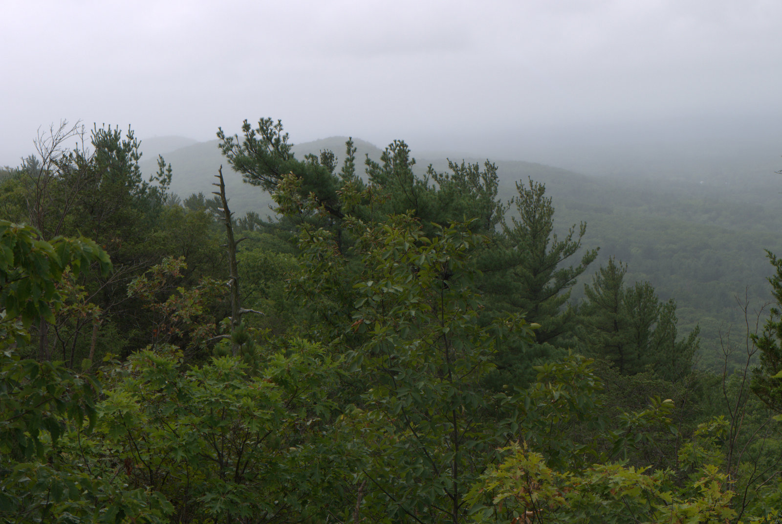
 |
Mist along the ridge from Storm Hermine
|
Cloudy weather makes for better trail photos. It was a short section, and probably the last I'll be lugging my 'real' camera around for awhile, so I took lots of photos.
 |
| New England Aster |
Fall asters and goldenrod were in bloom. The aster in the photo above is New England Aster, not the more common Wood Aster. I don't see this one very often.
I love the distinct assemblage of trap rock ridge plants that you can find growing from Guilford, Connecticut all the way along the ridge to Holyoke. I rarely see Bear Oak unless I'm at a rocky scenic overlook.
 |
| Bear Oak |
Nearby was what looked like immature Huckleberries, but in September? Stranger things have happened. Maybe it's related to El Nino and the drought.
 |
| Late Huckleberry? |
 |
| Drought conditions |
This season has got to be tough on thru hikers because there is very little water anywhere. Trap rock ridges tend to have very little water to begin with. What few streams and ponds there are mostly dried up. This section did have a nice pond at the very beginning, across the street from McLean Reservoir, but that was the last water I saw all day. Leaves are turning brown and dropping, giving a fall-like feel to some sections.
 |
| So much better than the office |
 |
| Another Beacon Tower |
I'm curious about these beacons along the ridges, but haven't found much information yet. I'll keep looking. One source said they were installed in 1944 during WWII.
The mist band from Hermine blew out abruptly and the skies brightened. I was sitting at an overlook while this happened, watching the view change from fog to clearing to almost sunny within just a few minutes. Amazing.
 |
| Rock scramble |
 |
| The ridgeline looking south |
 |
| You got it! |
After crossing Cherry Street, there is a shooting range, but it was quiet as I passed. Yay for good luck!
 |
| Onward! |
The only confusing part of this hike was after I arrived at the end of Section 5 where it comes out onto a small side street that runs parallel with MA 141 (Easthampton Road). I could see no blazes, my map wasn't terribly clear, my gps was busted and a new one on order, and I didn't have the description for Section 6, which covers that section. My car was parked across the street from the Holyoke Animal Hospital along Section 6, so I started walking down the street in that direction and started seeing blazes. The blazes continue down MA 141 all the way to the animal hospital. The NET map I have shows it running parallel with the road, but not on it, so this was confusing, but not critically so. But a blaze at the end of Section 5 would be helpful.
Up next: Mt. Tom.
 |
| Mt Tom as seen from the Animal Hospital on MA 141 |


No comments:
Post a Comment