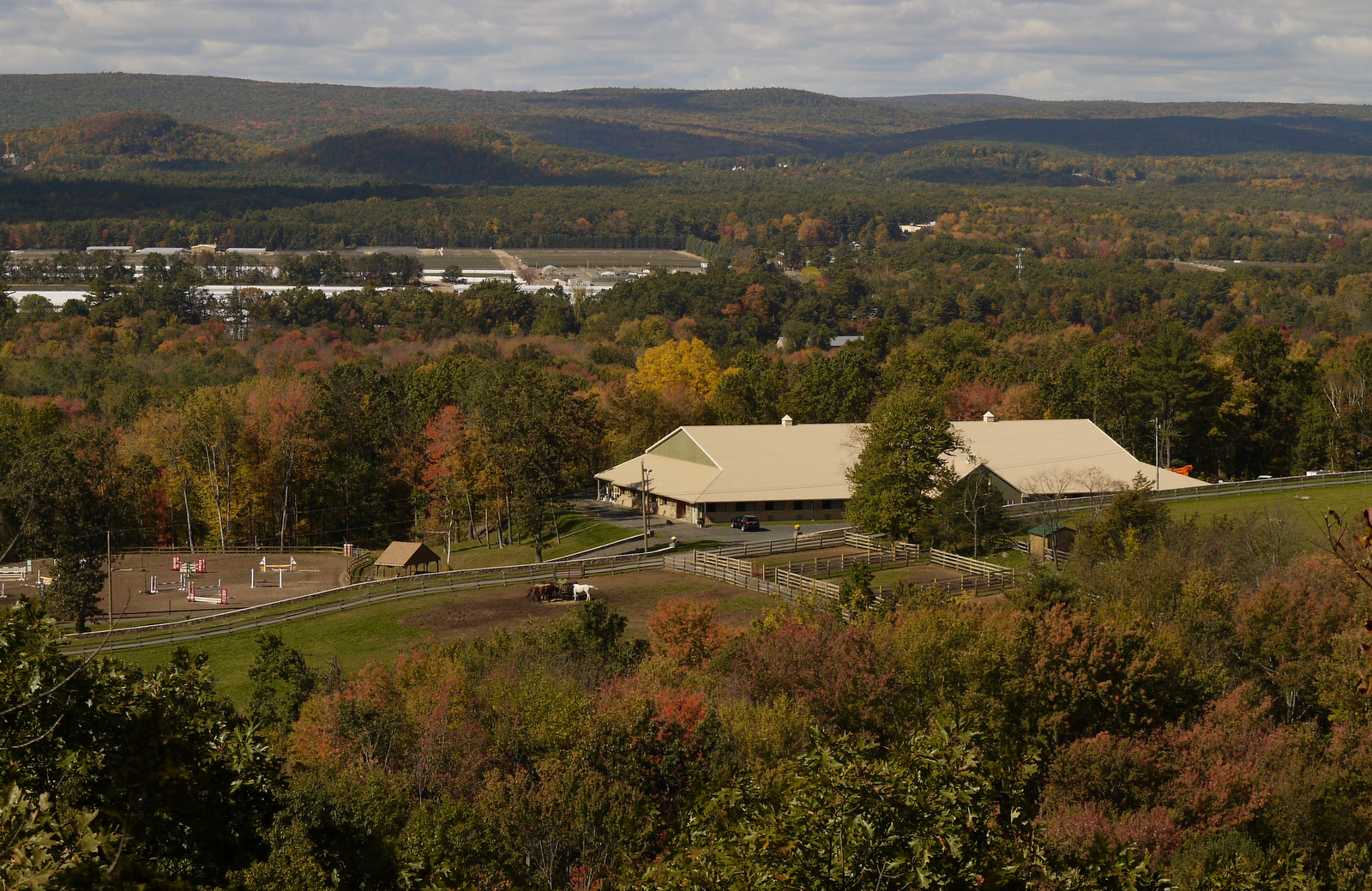
This trip was all about the Farmington River. I started with a visit to the Pinchot Sycamore, the largest tree in Connecticut, located on the banks of the river in the shadow of Talcott Mountain (click here for a Google Map location). Yes, it has an impressive girth (I made my dog sit there for scale). Sycamores are the quintessential floodplain tree, and obviously that tree is pretty happy there in the floodplain.
Heublein Tower overlooks the Pinchot Sycamore
The trailhead for this section starts about six miles further up the river. The Farmington River is the only Connecticut river that has managed to break across the hard trap rock wall that is the Metacomet Ridge, and it does so quite dramatically by way of the Tariffville Gorge. Before doing so, the river runs north through the broad and apparently quite affluent Farmington River Valley, with Heublein Tower and the cliffs of the Talcott Mountain always on the horizon. Then the river quite suddenly turns east and heads straight into the ridge, cutting a deep gorge, and tumbling over hard trap rock before continuing east to the Connecticut River. Here's a neat map showing the geology along the Tariffville Gorge.
My map, based on gps (solid lines) with dashed lines approximate only
The CFPA CT Walkbook map shows the NET (as the Metacomet), but not any side trails. Usually I can find some kind of map online for the interconnecting trails, but could find nothing for some trails that were said to cross municipal property known as Cowles Park, until I found a map drawn up by a the Farmington Valley Homeschool Hikers. Nice job, homeschoolers!
Pretty shoreline walk
Garter Snake
Silver Maple, a floodplain tree
This section of the NET starts at Rt 189 and follows the Farmington River shoreline for a bit before heading up the ridge. It's nice to see the river up close before heading up to the gorge overlook. Practically stepped on a Garter Snake sunning himself on the sandy trail on this chilly morning. Speaking of chilly...yeah! So refreshing to start out wearing multiple layers of shirts and not feel the need to take any of them off.
Heading up the ridge
Before long, the trail heads up the slope, cutting across the slope so it's not too steep. The leaves have begun falling, concealing loose traprock cobbles, so the going was slower than normal, as it will be for the rest of the season. The trail levels off and before long arrives at the popular overlook. I made a point to do this hike on a weekday so that I wouldn't have to deal with loud yahoos who do things like yell down the trail to each other as if they're the only ones in the park, and didn't see a soul until much later in the day.
Tariffville Gorge overlook. The view was all mine.
Trail Chimney
At the overlook, the trail, which has been going south, suddenly does a strange 180° turn and heads north, while a major unmarked trail continues south. So if you're not paying attention (me) you will likely head down the wrong trail until you think to check for blue blazes. And then you'll laugh because as you hike north you can actually see the trail you were just on before the overlook right down below you. I think it was just 30 feet or so away at one point.
Then it's the classic ridge hike for some way. I was looking for a trail to head down to Cowles Park like the homeschool map said, but didn't see it. It was there, it's just not easy to spot. Continued on to a chimney and finally to an overlook of the Farmington Valley starting to show some fall color.
After reaching Hatchet Hill Road, I turned back and walked back to the chimney, where a saw a well-defined trail heading down the hill. Was this the trail down to Cowles I was looking for? It wasn't. But eventually it lead me to a major 4-way intersection with the correct path, so I took that straight down the hill, crossed a set of powerlines with a lot of truck activity, and before long arrived at a pedestrian bridge and then a bench at the intersection of the yellow and orange loops at Cowles Park. At the next junction between the two loop trails, there was a sign for the Westervelt Trail, so that must be the name of the Orange Loop.
Moving power line cable across the trail. Thanks for the warning.
CL&P had booby-trapped the trail on the way back up the ridge, but I was too alert and their efforts failed. The black cable across the trail whirred through the tall grasses as it was pulled from some remote location, dangling from a high pulley on each tower and sagged to ground level in between. The sound was ominous and I stayed back, not knowing how this worked or how to get across. Obviously, if I were to step across it, the cable would suddenly and forcefully lift, catch my gear, and propel me up to the top of the next tower where I would crash violently into the pulley and then fall to earth. And yet I needed to get to the other side. The brush was too thick and full of brambles to walk over to the tower in shorts. A guy drove by in a truck and ignored me. And so I just waited for ten minutes or so until the cable began to lift, and I bolted under it. At any rate, you would think CL&P (Northeast Utilities) would have some kind of warning system to keep hikers and especially mountain bikers from hitting that cable. The last hike had a good section of trail obliterated by the company, and this section of trail was booby-trapped. I wonder if they realize that hiking trails exist, or what.
After making it past the trail hazard, I wandered on up the hill and before long was back at the overlook. But instead of heading back to the car, I took the big trail down south side of the ridge towards the river. The trail is blazed, but the color keeps changing from tree to tree. Not sure what that's all about. After a time, the trail splits, with the major part bearing left-ish and a smaller trail with blue CFPA-type blazes going straight. That must be why the homeschooler map shows the blue going this way. I took the blue down to Tunxis Ave. Not sure where that other trail ends up. There was a closed gate across the road maybe 75 feet to the east.
Farmington River
I followed the pavement down to a cul-de-sac and then down a wide trail to a beautiful sandy spot along the shore.
Farmington River hits the hard trap rock... rapids are the result.
After lingering over this beautiful spot for some time a kayaker pulled up his car and took the boat off the top. (Not sure how that works with that gate...it was closed when I first saw it but open on the way back). These are Class III rapids and if you Google "Tariffville Gorge" most of the hits will pertain to kayaking.
I was hoping maybe I could bushwhack back to the early part of the trail that was along the river and avoid going back up the ridge, but it was 4:00 pm and no time to be exploring a route that might be nothing more than an impassable cliff, so I doubled back, climbed back up the ridge (sigh), enjoyed the overlook again, then headed down the ridge and back along the beautiful river to the car. By this time, there were a few hikers and mountain bikers out enjoying the trail.
I hit a lot of traffic on the way back. For most of the NET up to the MDC properties, the drive has taken from 45 minutes to an hour just because of how the highways are laid out, but it's now taking longer and longer each trip. It took me 45 minutes just to get to I-84 this time. Simsbury and Avon seem like very nice towns, but holy cow, their traffic is horrible. Light after light takes five or ten minutes to get through, multiples cycles of the light before you even get to the intersection. Lines of traffic a block long to get through the intersection, then you drive a few more minutes and hit another line of traffic a block long. So anyway, I was incredible bored through all this and while I was stopped I took some pictures:
I'd rather be up there at Heublein Tower than here stuck in traffic
Last week I left a comment on your Wilcox Park post. I was interested to see how you were going to navigate the East Granby section because it had confused me. I got a chuckle to see that you used the map on my Farmington Valley Homeschool Hikers blog.
We were confused when we left the lookout to come down to the river. It seemed like there were blue blazes along the edge of the ridge, but then there also seemed to be ones a little farther east (away from the edge). The more easterly ones were the ones we took (I think because the ones closer to the ridge looked older? I don't remember). I do remember it seemed very confusing up there. We did not go in the other direction toward the chimney, but that looks cool.
When you were down in the cul-de-sac, did you see a red trail going off? I wasn't sure where that went, so I didn't follow it.
We are planning to hike this from Cowles Park this Wednesday. I'm a little concerned about the power line activity, but we'll at least be on the look out for it now, so thank you. We're also going to check out the area where the Spoonville Dam was (they took the dam out this summer).
I meant to ask in my last comment. In general, how long are you out on the trail on a given day? I've been reading your trip reports and you seem to cover quite a lot of ground.
Not sure if you are familiar with the trail/road history of the area...
The blue trail leading down to the gorge towards the end of the gated road was actually the original trail location and the road was the road used to get from the Granbys to Hartford prior to the 1950's/60's. Much of what is now 189 wasn't present yet (including the current bridge) and the road crossed the river 3 times. The first crossing was a bridge upstream of the current bridge between Old Hartford Ave and Main St. Next was a bridge connecting Tunxis Rd and Tunxis Ave (You may have seen the remains of the near the cul-de-sac) and lastly a bridge under what is now the S Main St Bridge (187). The bridges were washed out in the 1950's flood (though I think one may have been rebuilt temporarily).
The current 189 alignment with the isolated highway interchange was built in the 1960's replacing an older railway line through the gorge and was intended to be part of the route 9 highway which would have been a highway corridor from Granby through Hartford joining the current route 9 in Cromwell. (Probably good that was never built!).
The original routing of the Metacomet trail used the Tunxis Rd/Tunxis Ave. bridge. Later the loop back to the location along the new Hartford Ave. was added (I think possibly fairly recently as I think it is missing on some maps that show the new bridge alignments). I suspect that they changed the blaze color on some of the blazes heading down towards the gorge so the old alignment wouldn't be confused with the new alignment.
Personally I think the most enjoyable way to visit the southern portion of the segment and the gorge area is to start at Cowles park,cross to the metacomet north of the viewpoint, cross the viewpoint, drop down to the gorge then walk along tunxis ave (with small trails along the gorge) and use the trail near Winding Hills Rd. to get back to the starting point.


 After reaching Hatchet Hill Road, I turned back and walked back to the chimney, where a saw a well-defined trail heading down the hill. Was this the trail down to Cowles I was looking for? It wasn't. But eventually it lead me to a major 4-way intersection with the correct path, so I took that straight down the hill, crossed a set of powerlines with a lot of truck activity, and before long arrived at a pedestrian bridge and then a bench at the intersection of the yellow and orange loops at Cowles Park. At the next junction between the two loop trails, there was a sign for the Westervelt Trail, so that must be the name of the Orange Loop.


 I hit a lot of traffic on the way back. For most of the NET up to the MDC properties, the drive has taken from 45 minutes to an hour just because of how the highways are laid out, but it's now taking longer and longer each trip. It took me 45 minutes just to get to I-84 this time. Simsbury and Avon seem like very nice towns, but holy cow, their traffic is horrible. Light after light takes five or ten minutes to get through, multiples cycles of the light before you even get to the intersection. Lines of traffic a block long to get through the intersection, then you drive a few more minutes and hit another line of traffic a block long. So anyway, I was incredible bored through all this and while I was stopped I took some pictures:


Hi Teresa,
ReplyDeleteLast week I left a comment on your Wilcox Park post. I was interested to see how you were going to navigate the East Granby section because it had confused me. I got a chuckle to see that you used the map on my Farmington Valley Homeschool Hikers blog.
We were confused when we left the lookout to come down to the river. It seemed like there were blue blazes along the edge of the ridge, but then there also seemed to be ones a little farther east (away from the edge). The more easterly ones were the ones we took (I think because the ones closer to the ridge looked older? I don't remember). I do remember it seemed very confusing up there. We did not go in the other direction toward the chimney, but that looks cool.
When you were down in the cul-de-sac, did you see a red trail going off? I wasn't sure where that went, so I didn't follow it.
We are planning to hike this from Cowles Park this Wednesday. I'm a little concerned about the power line activity, but we'll at least be on the look out for it now, so thank you. We're also going to check out the area where the Spoonville Dam was (they took the dam out this summer).
Thanks for your post (and your map, too).
Sarah
Teresa,
ReplyDeleteI meant to ask in my last comment. In general, how long are you out on the trail on a given day? I've been reading your trip reports and you seem to cover quite a lot of ground.
Thanks,
Sarah
Not sure if you are familiar with the trail/road history of the area...
ReplyDeleteThe blue trail leading down to the gorge towards the end of the gated road was actually the original trail location and the road was the road used to get from the Granbys to Hartford prior to the 1950's/60's. Much of what is now 189 wasn't present yet (including the current bridge) and the road crossed the river 3 times. The first crossing was a bridge upstream of the current bridge between Old Hartford Ave and Main St. Next was a bridge connecting Tunxis Rd and Tunxis Ave (You may have seen the remains of the near the cul-de-sac) and lastly a bridge under what is now the S Main St Bridge (187). The bridges were washed out in the 1950's flood (though I think one may have been rebuilt temporarily).
The current 189 alignment with the isolated highway interchange was built in the 1960's replacing an older railway line through the gorge and was intended to be part of the route 9 highway which would have been a highway corridor from Granby through Hartford joining the current route 9 in Cromwell. (Probably good that was never built!).
The original routing of the Metacomet trail used the Tunxis Rd/Tunxis Ave. bridge. Later the loop back to the location along the new Hartford Ave. was added (I think possibly fairly recently as I think it is missing on some maps that show the new bridge alignments). I suspect that they changed the blaze color on some of the blazes heading down towards the gorge so the old alignment wouldn't be confused with the new alignment.
Personally I think the most enjoyable way to visit the southern portion of the segment and the gorge area is to start at Cowles park,cross to the metacomet north of the viewpoint, cross the viewpoint, drop down to the gorge then walk along tunxis ave (with small trails along the gorge) and use the trail near Winding Hills Rd. to get back to the starting point.