
I've been to Ragged Mountain several times, and in fact the header photo is one I took from Ragged Mountain a few years ago looking towards West Peak. At the time I had no idea what I was looking at -- just some hills in the distance. I enjoy the fact that when I drive down the highway now I actually know something about the ridge I'm passing. Especially the hanging hills, which are very distinctive as you head east from Southington on I-84.
The popular access point to Ragged Mountain is from West Lane in Berlin (the park is in both Berlin and Southington) and there is an entire network of trails, some well-blazed and others hardly blazed at all. But my goal is to walk the entire NET, so a bigger loop is needed (see map). We parked the car on Andrew Street and started out with a 1.8 mile road walk south.

Road walks are not generally my favorite, but sometimes you do find the unexpected, like this giant anchor resting next to a tree at the edge of Wassel Reservoir. I thought it was a cannon at first. It begs the question of what a ship that big would be doing in the reservoir.

And so we took a closer look and found this memorial plaque. Ahh. The U.S.S. Thresher was a nuclear powered sub that sank off the coast of Cape Cod in 1963. Tragic Cold War stuff.

We continued on down the road and passed some longhorns. I did not expect that on our hike.

We continued to Carey Street (no parking there), and picked up the blue-blazed trail as it turned up a gravel driveway across the street from two mailboxes that are labeled 97 and 147, and then up a nondescript hill and suddenly found ourselves at the bottom of a rather dramatic cliff. Whoa. This is a view of Ragged Mountain I've never had.

Ragged Mountain is one of the best known locations for rock climbing in Connecticut. We did some of our own climbing, "scrambling" to be more precise, heading up what is called a "draw" in CFPA's trail description. The draw, a sort of gully, starts out pretty easy with some stone steps, but gets more difficult as you near the top. There was one spot in particular that was troublesome because the rock was quite smooth and rounded, giving no real foothold. The skinny 12-year-old thought it was easy, though. "Really? That was it?" She sounded disappointed.
 |
| At the top of the small cliff. |
And here's the reward for that scramble, views to the south of the Hanging Hills in Meriden. Short Mountain is in the foreground, practically invisible. Must be why they call it Short.
 |
| Memorial messages. |
There's a prominent memorial to a fallen rock climber up here, with quartz messages left at its base. A reminder to respect Nature.
 |
| Climber's ropes at the top of the big cliff. |
 |
| Hartford |
 |
| Blueberries ripening |
 |
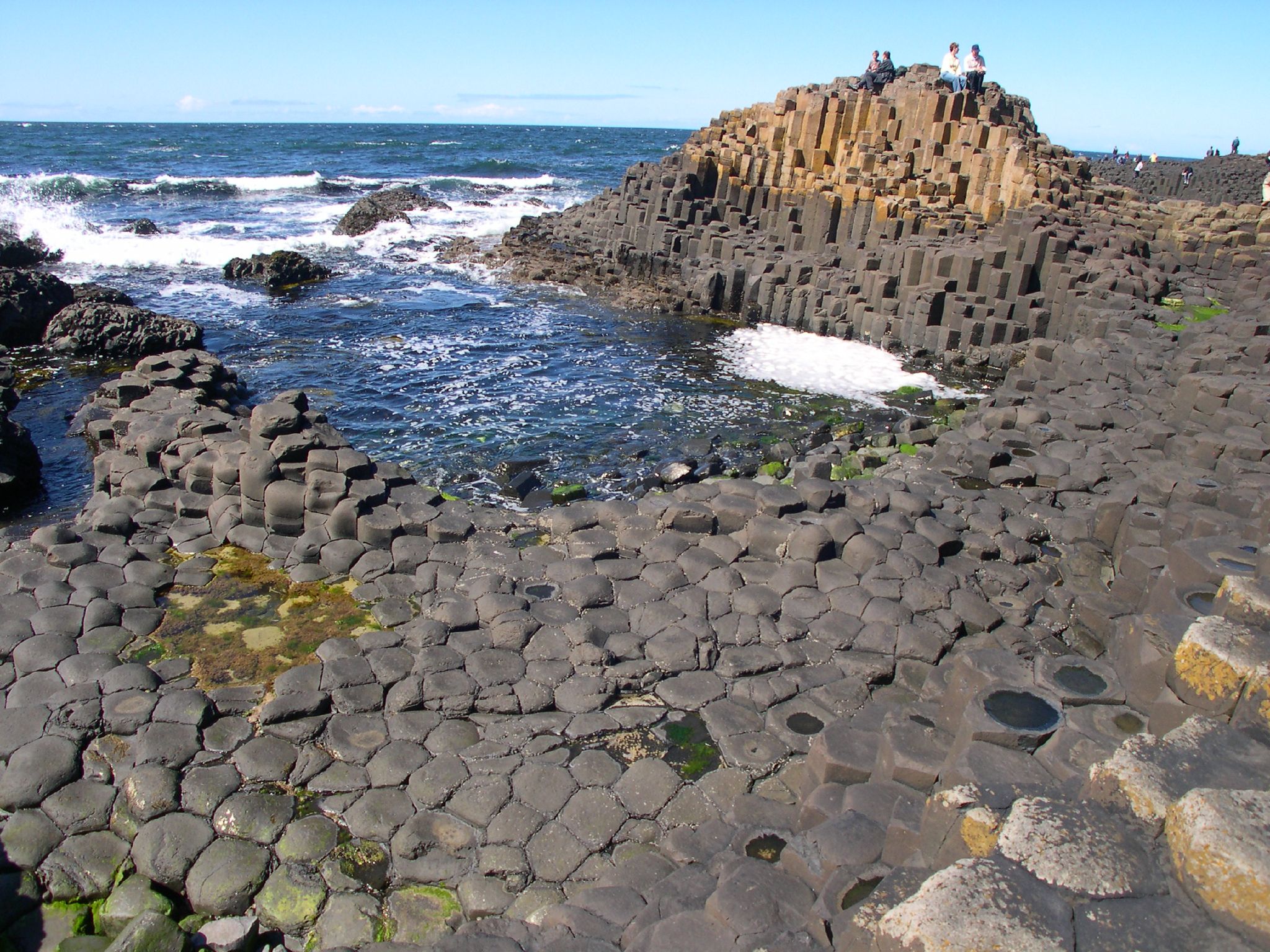
| Patterns in the trap rock |
 |
| Squaw Root |
The trail continues for a few easy miles to a canal and the junction with the red/blue trail. All along the trap rock ridges I've been seeing canals built to direct water runoff from the ridge into drinking water reservoirs, and I assume that's what this one is for.
 |
| Canal lined with stone |
 |
| Photogrammetry marking |
I wasn't expecting much from this last leg of the journey, from the canal to our car. I was surprised. Before long we came out onto our first, but not last, view of Shuttle Meadow Reservoir, and had ourselves a little break.
 |
| Shuttle Meadow Reservoir |
 |
| Lacquered Polypore |
We passed some tree fungus called Lacquered Polypores. I saw these on Short Mountain as well. They really do look like someone gave them a thick coating of shellac, and if you tap them they feel like they're made of wood or plastic, not slimy like you would expect.
 |
| Following the ridgeline above Shuttle Meadow Reservoir. |
So we walked along, getting closer to the car, and I pulled out my gps to check our progress. Gosh, there are a lot of contour lines between us and the car. Hmm.
 Wha?? Steep trail ahead? I did not know this was coming. They should have a marking on the CFPA maps for places like this. The trail quite suddenly plunges down a very steep slope with loose rock and dirt. There's also a trail that continues along the ridge for views, but we had already walked seven miles or something and were not interested. I regret that decision. Sounds like the view was different than what we had be seeing along the ridge. We made sure to keep a lot of distance between us as we descended in case one of us slipped into the person below, but this turned out to have a down side. I was the last one to start my descent, and I knocked a cobble stone loose that went bouncing down the slope like it was shot out of a canon. "HEADS UP!!!" was about all I could do. Fortunately, it missed everyone and we made it down without incident.
  |
| At the bottom, trail came down notch on the right |
The cliff was very cool. Wow!
 |
| Too. Many. Deer. |
And we were almost back to our car. The rest of the forest was sadly impacted by what is probably way too many deer. No shrubs or saplings, just a lot of freshly sprouted maple seeds along with a blanket of invasive garlic mustard. A mountain biker headed up the slope and I asked him incredulously if we was going up that cliff we just came down. He said he knew a way around. I'm tempted to go back and check out the trail further.
Awesome blog... Hiking the area tomorrow. Should be a great day..
ReplyDelete