 |
Moose Central in through here
|
This hike was bookmarked by features named Livermore, with a brush past Mt. Livermore just before the roadwalk leading into Plymouth. There's a ghost town called Livermore not far from the previously hiked section of the Ghost Trail along Sawyer River Road. Livermore was a boomtown back in the 1800s when the White Mountains were being clear cut. At one point there were between 150 and 200 people living in the town, not including the loggers. There was a sawmill, of course, and extensive train track system crossing the area used to haul the logs to it. The old track system is the foundation of some of the hiking trails. Eventually they cut all the timber and that was it for the town. The AMC hiking map for the region shows the location of Livermore and there are a few ruins left if you want to check it out.
 |
| Some bits of fall color along Livermore Trail |
There are several potential water sources along this stretch. If you need to pitch a ground tent, the area just north of the junction with the Old Skidder Trail might work. There's a stream crossing.
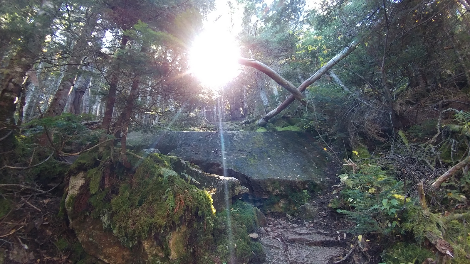
I chose to ascend Tripyramid the "easy" way by taking the Scaur Ridge Trail instead of the Tripyramid Trail. The latter just looks insane to me and it's listed as one of New Hampshire's most terrifying trails. A younger version of me dayhiking with friends would have loved it. You go up the North Slide, which is shear rock that's nearly vertical. All sources say to never, descend on this trail. So if you are northbound, you've been warned. Scaur Ridge Trail was a delightfully moderate walk up to a ridgeline, where you then hang a right onto the Pine Bend Brook Trail.
 |
Slime mold fruiting body mass inside an old Yellow Birch,
Scaur Ridge Trail |
 |
Close-up of young fruiting bodies
Hemitrichia calyculata? "Push Pin Slime Mold" |
There were a ton of mushrooms on all my Ghost Trail hikes, but what really caught my eye was a Slime Mold on the Scaur Ridge Trail where a rotting birch had the appearance of splitting open to reveal bright orange teeth. Slime Molds are not related to mushrooms, but are instead a gelatinous amoebae that can move around a few feet to a better location on a log or rock to position their fruiting bodies. In this case, the tough bark of a yellow birch kept the amoebae sealed inside, so it found a spot where the log broke in half to start fruiting. I walked by at exactly the right time. A few hours later, the young sporangia would change in appearance. In fact a common method of identification is to go back to a fruiting body every few hours to check its appearance over time.
 |
| Pine Bend Brook Trail following the ridgeline |
I was nearly to the top of North Tripyramid and things were going great. Pine Bend Brook Trail followed a sharp ridgeline, almost a knife's edge before heading up for the last section up the mountain.
 |
| Pine Bend Brook Trail and the first of many scrambles |
And then....it was one difficult, slick mossy scramble after another. I had not planned for this. I had too much water in my pack (in case I didn't make it to the brook for the night). Four days of heavy food. Too many things dangling off the back of my pack that could catch on things, including a pair of Crocs that at one point snagged on a branch as I was on my hands and knees trying to climb up through a narrow gap between two trees. I got stuck for a bit trying to figure out what was going on there. At another point I ripped my pants on a sharp branch. Yet another time I had to take off my pack and shove it up the rock, then careful get up and over it, and somehow get the overloaded pack back on while standing on a steeply sloping, damp and mossy ledge. I'd get up a ledge and think that was it, I'm done with that ledge stuff and then there would be another. And another. And another. I was so done with the ledges.
 |
| Looking down one of the scrambles on the Pine Bend Brook Trail |
They finally did end, of course. Why didn't any of the guidebooks mention all the difficult scrambles on this "easy" route up to the top? Most people are actually taking this route down the hill, not up, and they are dayhiking, not backpacking with tons of food and water. Completely different scenario. At any rate, the top of North Tripyramid was tiny, with no view or even a sign marking the spot. A couple peakbagging guys came up from the other side, ignored me, and continued on.
 |
| Up on the Tripyramids |
A passed a few more groups of men peakbagging as I followed Tripyramid Trail south to Middle and South Tripyramid. It was nice enough up there. No real views, but glimpses through the trees. A few spots where people have set up tents.
 |
| Heading down the "Gravel Slide" |
I'd read Mt. Tripyramid descends South Tri on the "Gravel Slide", and to "pick your way carefully" down the slide, which is supposed to be much easier than the North Slide. I was not mentally prepared for going down this slide. First, it's not gravel. Is there gravel down at the bottom or something? It's all ledge. Second, it's much longer and steeper than I expected. It's probably really easy going up. But I'm fairly afraid of heights, and looking down the endless slide with that heavy load on my back threatening to throw me off balance at any second was a real challenge. Did I mention my balance isn't very good? It happens as you get older. Thank goodness the rock was dry.
 |
| I was too terrified going down the slide to enjoy the view |
So I inched down this nerve-wracking trail, taking forever. I eagerly kept my eye out on the left for the Kate Sleeper Trail, which I'd read is easy to miss.
 |
| Finally arriving at the Kate Sleeper Trail, thank goodness |
 |
| Kate Sleeper Trail junction - easy to miss |
I was ever so happy to finally arrive at the Kate Sleeper Trail. Done with the slide! And then....
 |
Noooo! Another slide to inch down
Kate Sleeper Trail
|
Another slide to go down! What? Well, there was nothing for it but to forge ahead. These scrambles and slides had really slowed me down and it was getting late. At this point I was pretty sure I was not going to make it to Downes Brook before nightfall. The Tripyramids had kicked my butt.
 |
| It was so nice to stretch my legs up and over the two Sleepers |
Happily, the Kate Sleeper Trail was a piece of cake as it slid up and over West Sleeper and East Sleeper. It was so nice to finally stretch my legs and just walk. The sun was about to set while I was on East Sleeper and I was thinking of finding a spot to set up there, but the hilltop was a huge tangle of old blowdowns and new growth. Impossible.
 |
| Made good time flying across the Sleepers |
But the walk down the Sleeper was quick and I arrived at Downes Brook in col between East Sleeper and Mt. Whiteface just in time to throw up my tent and hang a bear bag before it was dark. Phew! I was so happy to crawl inside and lay down for the night. The cell signal that I'd had up on the ridge was lost down in the col, but I was able to text my status using the Garmin Mini InReach.
 |
Arrived at the Downe's Brook area at sunset
|
In Conclusion: The Tripyramids would be easier backpacking in the northbound direction. Even so, allow extra time, especially in wet weather. Also, you might not want to even bother with the Tripyramids. Another hiker is planning on doing the Ghost Trail route by way of Mt. Passaconaway. Yet another option might be to explore the Downes Brook Trail all the way to Kancamagus Highway and Passaconaway Campground. That trail looked like it gets very little hiker traffic, at least the part I saw, which is in the spirit of the Cohos and Ghost Trail route.


No comments:
Post a Comment