
Back at it, trying to finish up the NET spur before winter. What a difference a week makes! Nearly all the leaves were down, and going up or down hills on the slick oak leaves felt like walking on a couple inches of snow at times, except it was a lot noisier. I wore blaze orange again, but if there were any hunters out there I'm sure they heard me crunching through the leaves long before they saw me.
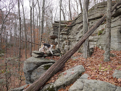 |
| Typical metamorphic 'crap rock' of Connecticut (gneiss/schist) |
I pulled off the side of Aircraft Road at the trail crossing, and before too long was already up on a small cliff with an overlook down into the leafless woods. The outcrop was the typical gray gneiss/schist 'crap rock' you see nearly everywhere in eastern and western Connecticut (but not in the Connecticut Valley). That would soon change. The high points of the NET spur are high because they are a harder kind of rock: pegmatite.
 |
| "Great Wall of China" |
And there's the pegmatite, a long wall of massive white rock rising up from the forest floor. The CFPA CTWalkbook refers to this as the "Great Wall of China." I vote that more trail features get names. It's fun to wonder what something like, "the Pavement" or "the Great Wall of China" will look like. The trail follows the bottom of the wall for awhile before suddenly turning and climbing to the top of it.
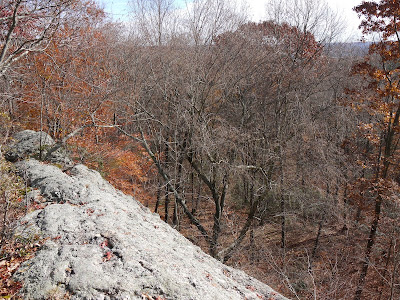 |
| View from the top of the Great Wall |
The most exciting thing about the view at the top of the wall was the glimpse of the Connecticut River through the trees. It's the river that effectively ends the trail a few miles to the north.
 |
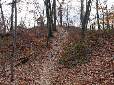
| False summit |
From this point on, it's all pegmatite under foot. We are now in the Middletown Pegmatite District. Go ahead, Google it. The center of this district is near the very end of the trail, in an area called the White Rocks District. The rocks are white (especially broken rock in a quarry) because the pegmatite has so many light-colored minerals in it. So I think I should say something about pegmatites here.
 |
| Another false summit |
Like the traprock of the mainline NET, pegmatites are igneous rock, meaning they were once molten magma. Very little of Connecticut is covered in igneous rock, yet a great majority of the NET has igneous rock underfoot. For me, the rock is a defining characteristic of the trail. It's a very large part of what makes the trail unique for Connecticut. The high ridges of trap rock and pegmatite were too rugged for farming or settlement, but they are great for modern hiking trails.
 |
| Blueberry or huckleberry still holding on to some color |
 |
| Pegmatite - really hard rock |
Pegmatite is basically granite, but with really big crystals, sometimes several feet across (gemstones often come from pegmatites). The crystals were able to grow so large because the magma never got near the surface of the earth, and cooled very, very slowly. It's made up mostly of feldspar and quartz, and feldspar is mainly what it was quarried for in the Middletown Pegmatite District starting around 1825. Feldspar is crushed to use in ceramics. There are dozens of abandoned mines in the area. It's the feldspar that gives the rock that light color, along with the clear to gray quartz.
 |
| More pegmatite |
 |
| And more pegmatite |
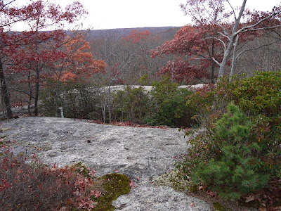
There was a lot of walking along exposed ridges with great views before arriving at the summit of Bear Hill, where the views were not as great. So I took a photo of the USGS survey monument instead.
 |
| Survey monument at the top of Bear Hill. |
 |
| Of course. |
At this point I was pretty tired. I don't know if it was the backtracking for letterboxes, all the slippery leaves over the ups and downs, or the yardwork I did over the weekend. It felt like I had hiked 4 miles, yet the CFPA description says it's only 2.2 miles from Aircraft Road to the summit of Bear Hill. Fortunately, I was able to arrange for a ride from the opposite side of the hill, and the walk down was much quicker.
 |
| Reindeer moss, the stuff that caribou eat up north in the tundra |
The north side of Bear Hill has a LOT of mountain laurel. The trail was at tunnel through the laurel. I can't imagine trying to bushwhack through that. And at one point there was an overlook to the north where I got a glimpse of Hartford shining in the sun, but it didn't photograph well. Then there was a glimpse of a reservoir down below, either Hubbard Pond or one of the Asylum Reservoirs that will be featured on the next leg of the trail.
 |
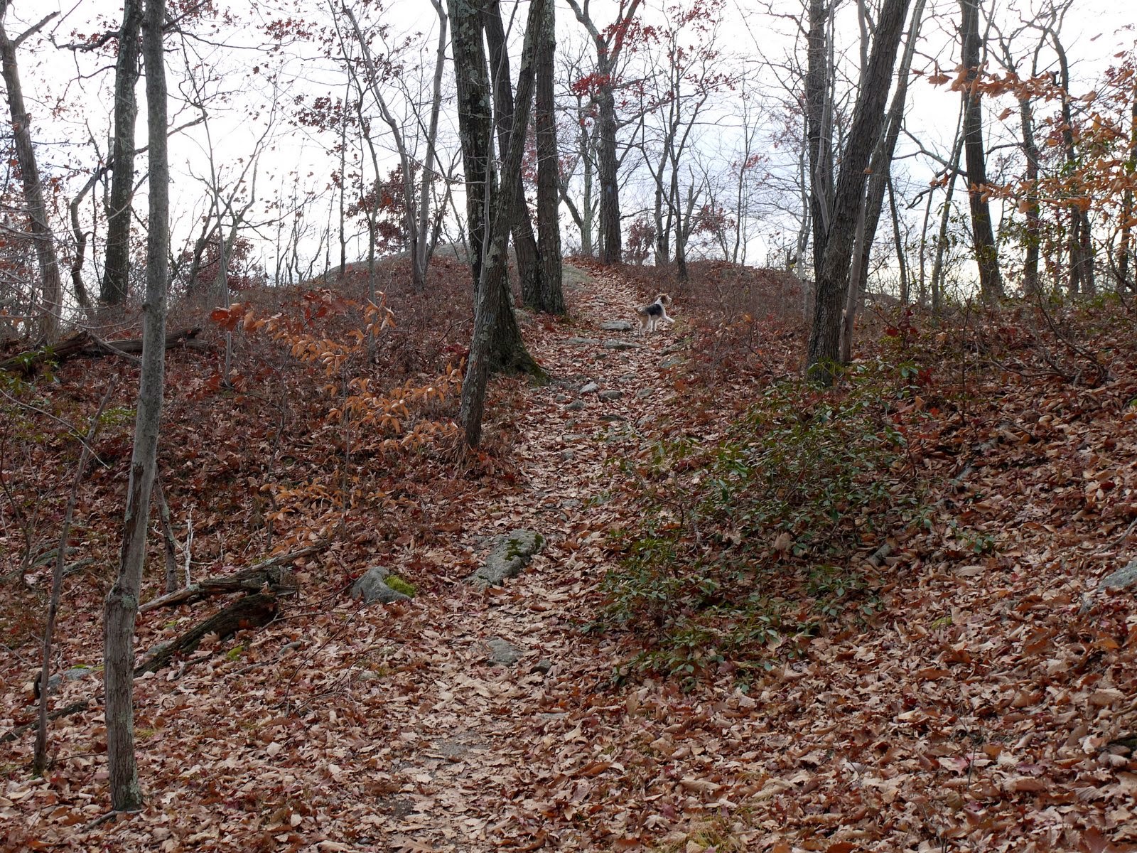
| Almost there. A few oaks still have some color. |
Just before Bear Hill Road, there was one of the new NET signboards, complete with a tasteful map and QR code if you need to scan for a trail map. I plan to lobby our local Trails Committee to install some boards like this along our trails. Simple, yet looks good.
I was hiking in a T-shirt all day and even though it was mid-November I was sweating up a storm. As I arrived at Bear Hill Road and had to wait for my ride, raw winter weather began moving in and it started getting pretty chilly. I would not want to be stranded on that mountain overnight this time of year! The next morning, I awoke to snow.


This is my neck of the woods so I like reading about it.There are some abandoned foundations from the old village of Maromas around there and also areas where the Leatherman used to hang out.
ReplyDelete