 |
| First balloon litter of the day |
We continue our journey up the NET spur along hard knobby rocks much older than the traprock of the mainline. Each time I drive to the spur, coming from the west, I cross that distinctive pattern of low redbeds and high traprock cliffs that characterizes the Hartford Basin (geospeak for the Connecticut Valley ). No matter which route I take, I enter a long broad valley with lots of houses, offices, highways (like I-91 and the Wilbur Cross), and a few farms. Then the road will go east to find a way through the long traprock ridge (the mainline NET follows the ridgeline), and on the other side is more valley, this time with fewer houses and more farms. And then the valley ends where the old rock begins. Continuing east, the terrain abruptly changes and the road will narrow and windy as it climbs the old gray rock of the Eastern Highlands.
 |
| View from the Eagles Beak |
 |
| Vulture |
The Spur roughly follows the high points along rim of the Hartford Basin. One such high point is called Eagles Beak Point. Most of the views so far have been looking west across the Connecticut Valley, with the traprock ridge in the distance. This time the view is in a different direction, away from the Valley, and there is not a single building in view. Lovely! The hike from Foot Hills Road to the overlook is an easy 1.5 mile stroll.
 |
| The Eastern Highlands rolling in the distance |
Continuing to Brainard Hill Road, the trail passes over an area of resistant rock referred to as "the Pavement" in the CT Walkbook. The bedrock walk does in fact feel a bit like walking along some abandoned asphalt path through the woods. It goes on for maybe 1000 feet or so. I've walked over a lot of ledge in Connecticut, but this was pretty distinctive.
 |
| "The Pavement" goes on for maybe 1000 feet or so |
 |
| "The Pavement" continues |
The walk in here was quite enjoyable. There were no sounds of trucks or leave blowers, just a few determined Katydids and an occasional Spring Peeper confused over the warm weather. The trail descends gradually to Brainard Hill Road, where a mostly dried up stream (we are in a drought) seeped out from under an old mill dam.
 |
| Old mill dam near Brainard Hill Road |
 |
| Back at Eagles Beak Point |
Walking back the way I came, I looked forward to another stop at the Eagles Beak. Stormy weather was moving in, with low clouds zooming above and leaves blowing up into the air 100 feet or so. The sky began to darken.
 |
| The leaves were flying! |
 |
| Balloon #2 |
There was a lot of Chestnut Oak up on top of the ridge, which is pretty normal. I'm not sure where the tree gets its name, but maybe its from the chestnut color of the furrows in its blocky bark. It's pretty distinctive. This tree isn't very competitive in good soil, but where there is very dry, rocky ground in Connecticut, there will probably be a Chestnut Oak there.
 |
| Chestnut Oak - the furrows are in fact chestnut colored |
 |
| A whole lot of Witch Hazel in bloom near the powerlines. |
 |
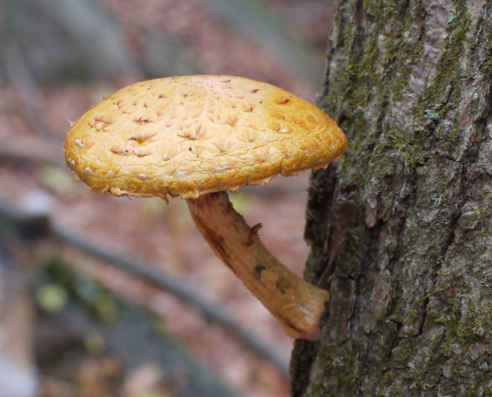
| Large mushroom growing out of a live tree during a drought - Scaly Pholiota? |
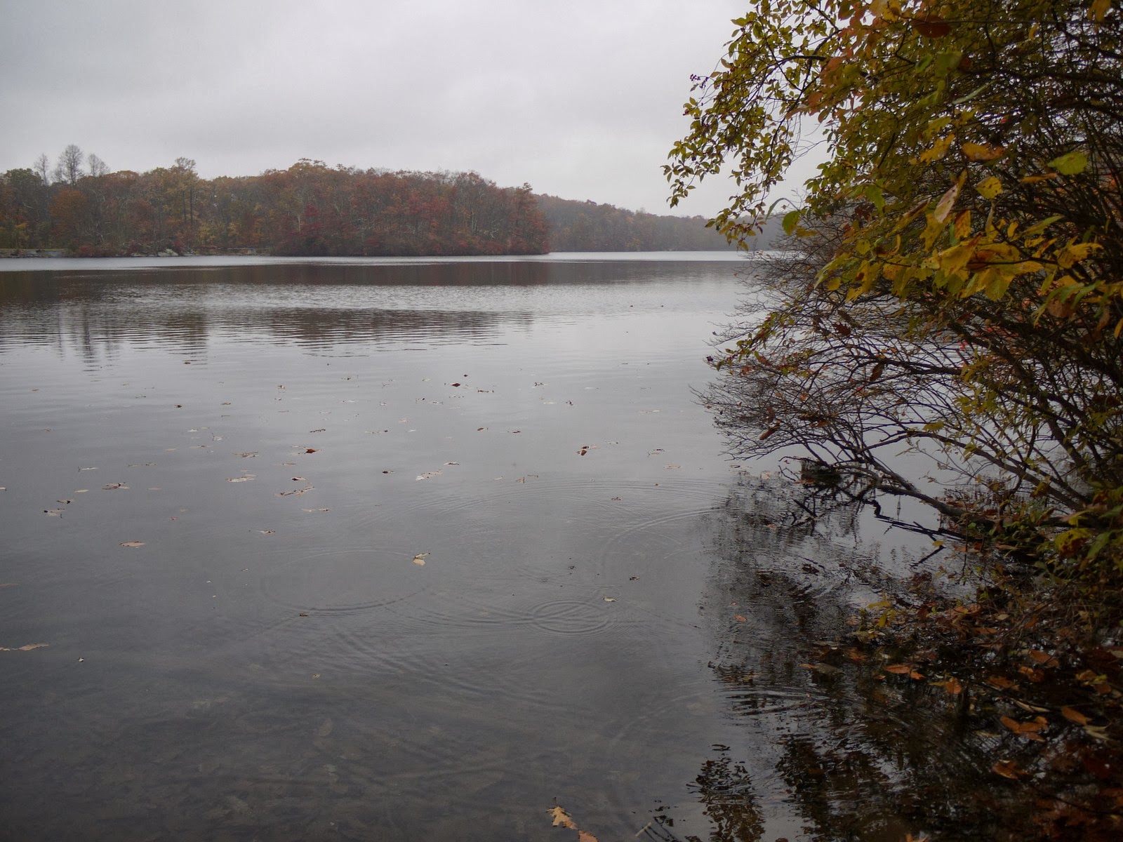
After arriving back at the car, I took a quick spin around Miller's Pond while it began to rain. The place was deserted. A kingfisher chattered and hit the water nearby.


No comments:
Post a Comment