Saturday, January 28, 2012

Guilford: Timberlands to Sullivan Drive

 
2012, the Year Without a Winter.  So let's continue on our journey, parking on Route 80 in Guilford and walking south along the Menunkatuck to Sullivan Drive. The boys are headed out to golf, so we coordinate and my car is spotted at the end of the route. By the way, this blog gives me the option of entering coordinates for each post, so I'll be entering the location of my starting point. You can see that at the end of the blog post, and click for directions or whatever. 

Arriving at Upper Guilford Lake
We're going to start at Timberlands, a park with lots of well-worn trails.   The first part was very easy, if a bit dull, and I found a spot to plant a letterbox.  And wouldn't you know, as soon as I planted the box the  trail came out onto Upper Guilford Lake, and wow, it's gorgeous.  This is where I should have planted. Sigh.

Upper Guilford Lake
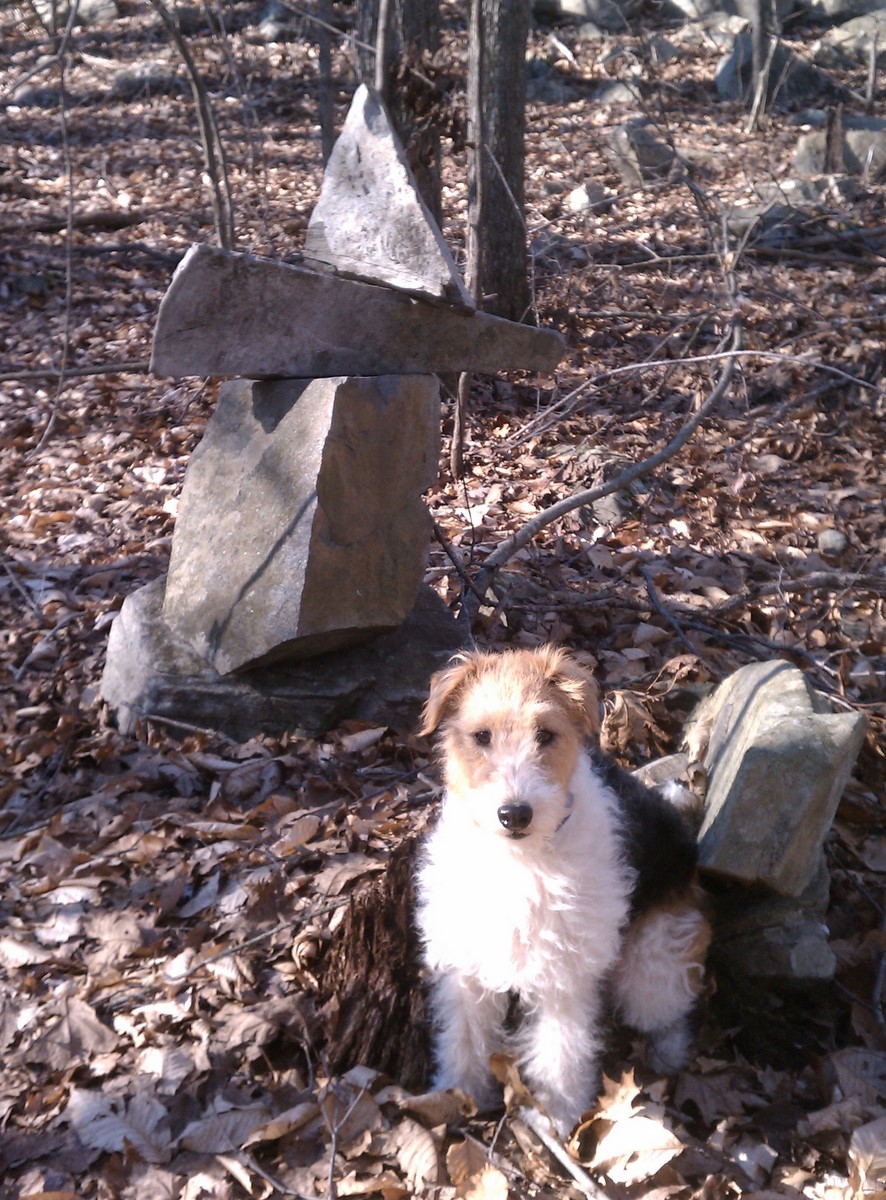
I found a geocache by accident, logged in, and continued along the lake shore.  The sound of rapids soon filled the air as a flooded stream emptied into the lake.

The trail followed the stream for a bit, climbing up the side of a gorge, then crossing over a bridge.  This section of trail was definitely the most scenic section of the entire Menunkatuck.  Broomstick ledges was nice, too.


Checking my progress on the Droid
The trail rambled on.  There was a road-walk on North Madison Road, and then the trail skirted subdivisions.  Houses were nearby and I could hear some obnoxious guys in their backyard.  But after a bit the Menunkatuck entered what I guess is Nut Plains Woods, which is somehow apply named, don't ask me why.  No more houses, and the woods were pretty level but with plenty of big boulders.

I decided to check my progress on the Droid. This is handy.  I have entered the approximate trail route and exact parking locations into a Google "My Maps" (or "My Places").  When I view the map, it shows my current location.  At 1:30 I was just over halfway, although I had taken a couple lengthy detours along the way looking for boxes early on.  Time to speed up -- it gets dark at 5:00 and I don't want to have to walk out using my headlamp.


A pretty area, looking west towards a pond off Cindy Lane.
 I really did enjoy the Nut Plains section of trail.  It feels isolated, but the trail is easy to follow. Timberlands was more heavily used.   Lots of people walking their dogs. Seriously, everyone in Timberland had a dog. That's not a bad thing. All the dogs were off-leash, but they were all really good about putting their dog back on leash as soon as they realized another hiker was nearby.  The exception was a woman with four very impressive border collies who were ordered  to crouch down while I passed. That was quite a sight! I've always thought leash laws should be written to says dogs must 'be under control' of their owner, not necessarily on a leash.
Looking back at the last of the blue blazes. 

At the top of a knoll with a seasonal view of a pond off Cindy Lane, the blazes came to an end, and it was all orange surveyor's tape the rest of the way.  That was actually rather neat, to hike on sections of this National Scenic Trail that aren't even fully complete yet.  There was lots of flagging, so the trail was not hard to follow. Eventually, the orange flagging came to an end at a major trail junction, and a few pink flags lead off to the right towards Sullivan Drive.  The path was well-worn from people walking their dogs.  More orange tape appeared sporadically in places where you might not be sure which way to go.

What is that? 
Approaching Sullivan Drive, the trail skirted what appears to be the Guilford Town Yard. It's not too bad, just the occasional glimpse.
Wish I had a horse to run across that
I didn't expect this vast meadow. I would so love to be on a horse running across that.


Sullivan Drive Parking area, looking back towards the trail across the bridge.
 The orange tape directed me along the right edge of the meadow and then out to Sullivan Drive, where I immediately saw ...my car!

Tuesday, January 24, 2012

Carving Stamps for the Trail

I'm carving some letterboxing stamps to leave along the trail for others to find. My theme will be 'Towns along the mainline NET' and I imagine it will take years to get them all planted.   The first town is Guilford, and I came up with a design after a bit of research on where the trail was in relation to the town boundaries.   I wanted to show the trail going all the way to the shoreline, but the route hasn't been completed, so I took an educated guess and will just cross my fingers. A graphics program was helpful.

Although store-bought stamps are sometimes used in letterboxes, most boxers much prefer to find hand-carved stamps.  Wouldn't you rather find something unique out along the trail? I especially like stamps that are somehow related to the location where you find them.

Now that I have my design, I need to transfer the image onto some carving block.   Usually I pencil in the image, which is tedious, then rub the image onto the rubber so that the pencil leaves traces. Today I made a photocopy using an old copy machine, then used nail polish remover and rubbed the image onto the carving block.  


Notice everything is a mirror image. This technique will not work with modern inkjet copiers, although some people have had luck transferring inkjet printouts using oil of wintergreen instead of nail polish remover. 


Let the carving begin!  I use some micro gouges to slowly remove rubber in all the places that aren't covered in black. Pretty simple.  The Staedler 1v gouge is the most commonly used tool by letterboxers, but I prefer to use micro woodcarvers.  


After carving, I test out the image and leave an impression in my planter logbook. The stamps are rarely as good as I hope, as is the case here, but such is folk art. Nobody expects to find a stamp carved by a fine artist.  

Then it's time to assemble the letterbox.  I have a logbook, some felt to wrap the inky stamp in, and a high quality freezer bag, pint size. No pen or ink pad, which could just muck up the box if it gets wet. The contents goes into a solid, rigid, snap-lock style tupperware, spray painted for camouflage, to be hidden out along the trail.

For more information about stamp carving, see Carving 101. A popular place for letterboxers to purchase carving supplies is Stampeaz, run by a fellow letterboxer.

Saturday, January 7, 2012

IT'S 58 DEGREEES!!! Guilford - Route 77 to Route 80

Biscuit, my boxing buddy

January 7, and I hike the entire day in shorts and a short-sleeved T-shirt. This day I'm able to spot a car at the end of the trail, and so head out for a nice long trek.  And I'm using my new trekking poles, by the way.  I start out by repeating the hike from last week through Broomstick Ledges, but I'm going twice as fast with the new poles. Yeah!


This little pond is in the middle of nowhere, or at least it feels that way. In fact, most of this hike was refreshingly isolated. Even though it was 58 degrees on a Saturday in January, I only passed 3 people the entire day.  The Menunkatuck was mostly pretty easy, often following old roads. In the distance I could hear gunfire from a shooting range, but it didn't bother me much until I got closer to Route 80 and the Guilford Sportsman Association.  It sounded almost on top of the trail there. 


Glacial erratic north of Rt 80
All the rock along the Menunkatuck is the typical gray messy schist you find in the eastern and western part of the state and completely different that what you'll see along the rest of the New England Trail.  The basalt of the Connecticut Valley ridges is called "Traprock". I like to call the schist that is more typical of Connecticut "Craprock."  Schist is mud that was buried, heated, and squeezed.  And it looks like it.

According to a booklet called "Traprock Ridges of Connecticut: A Naturalist's Guide," deep under Route 77 at Bluff Head, where I started this hike, lies a massive buried fault line. On the east side of the fault are the craprock Broomstick Ledges. On the west side of the fault the rock consists of traprock that was once an epic lava flow.  The traprock use to be a few thousand feet higher, but it dropped along the fault line when Pangea was pulled apart a few hundred million years ago. 


Sunday, January 1, 2012

And so it begins...

I was planning to start hiking the new "New England Trail" next spring, but it was 50 degrees on January 1, and that simply cannot go unhiked.  So here I am in Guilford, at the so-called Bluff Head parking area on Route 77.   In Connecticut, the New England Trail is mostly made up of the blue-blazed Mattabesett and Metacomet Trails, but a new trail under construction in Guilford is supposed to extend the trail down to the Sound.  It doesn't yet, but it's about half way there, so I thought I'd go check it out the part that's done. It's called the Menunkatuck Trail, and to find the northern terminus you have to take the Mattabesett for 1.3 miles. 

The Mattabesett rises quickly above the highway, and before long road noise is banished for the remainder of the hike.   The first 1.3 mile took a lot longer than I expected and at one point I was convinced I had missed the turnoff for the Menunkatuck.  In retrospect, the trail goes due east across a series of rocky features trending north-south, so it's just slow going. Especially for me, since I rebroke an ankle in October hiking the Tunxis and am a little touchy about walking on slick wet leaves over wet mossy rocks. Slow was the word. 


Green.  Winter greenery is always welcome, but it was really vivid on this hike.  All the warm weather we've had this winter has done wonders for our evergreen plants. Even the vernal pool was green. A tiny salamander larvae floated up out of the algae at one point. 


So, I haven't been posting much this year due to a couple injuries that left me unable to carry my heavy camera and then unable to even hike for a spell.  Excuse the photos today, they were taken with my Droid. 


More green! 


Here's some trail art. Big chunk of white quartz set on a green mossy rock. There was a fair amount of trail art on the Mattabesett.   


And finally I'm at the Menunkatuck!  I love that name.  Menunkatuck. It took me about an hour to walk 1.3 miles. But the Menunkatuck proves to be a much easier path, mostly following old woods roads. I suppose this is because it's heading south and isn't going against the geology of the area. 


Very shortly there's a kiosk for Broomstick Ledges, which I'm completely unfamiliar with. There's a sign for both the Town of Guilford and the Guilford Land Trust, leaving me wondering which one of them owns the property.


Good thing there is no hunting allowed on Sunday, because I'm not wearing blaze orange!  Although I'm not crazy about hiking past hunters, I am happy that deer are kept in check so all the animals can live there, not just the most adorable ones.  Forests completely stripped by deer are tragic. 


Heading back to my car on the Mattabesett, the trail is again more rugged, and perhaps more scenic, winding up and around linear pools and rocky ledges, with a glimpse of distance hills through the trees.