 |
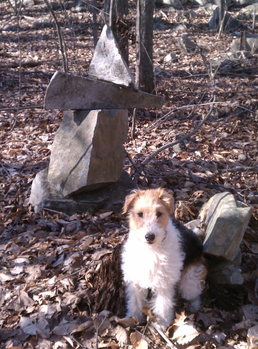
| Biscuit, my boxing buddy |
January 7, and I hike the entire day in shorts and a short-sleeved T-shirt. This day I'm able to spot a car at the end of the trail, and so head out for a nice long trek. And I'm using my new trekking poles, by the way. I start out by repeating the hike from last week through Broomstick Ledges, but I'm going twice as fast with the new poles. Yeah!

This little pond is in the middle of nowhere, or at least it feels that way. In fact, most of this hike was refreshingly isolated. Even though it was 58 degrees on a Saturday in January, I only passed 3 people the entire day. The Menunkatuck was mostly pretty easy, often following old roads. In the distance I could hear gunfire from a shooting range, but it didn't bother me much until I got closer to Route 80 and the Guilford Sportsman Association. It sounded almost on top of the trail there.
 |
| Glacial erratic north of Rt 80 |
All the rock along the Menunkatuck is the typical gray messy schist you find in the eastern and western part of the state and completely different that what you'll see along the rest of the New England Trail. The basalt of the Connecticut Valley ridges is called "Traprock". I like to call the schist that is more typical of Connecticut "Craprock." Schist is mud that was buried, heated, and squeezed. And it looks like it.
According to a booklet called "Traprock Ridges of Connecticut: A Naturalist's Guide," deep under Route 77 at Bluff Head, where I started this hike, lies a massive buried fault line. On the east side of the fault are the craprock Broomstick Ledges. On the west side of the fault the rock consists of traprock that was once an epic lava flow. The traprock use to be a few thousand feet higher, but it dropped along the fault line when Pangea was pulled apart a few hundred million years ago.
According to a booklet called "Traprock Ridges of Connecticut: A Naturalist's Guide," deep under Route 77 at Bluff Head, where I started this hike, lies a massive buried fault line. On the east side of the fault are the craprock Broomstick Ledges. On the west side of the fault the rock consists of traprock that was once an epic lava flow. The traprock use to be a few thousand feet higher, but it dropped along the fault line when Pangea was pulled apart a few hundred million years ago.
No comments:
Post a Comment