 |
| Bluff Head, as seen from Reid's View at Braemore Preserve. |

Here's the route for the day. I thought of doing a larger loop, but a lot of time is spent looking for letterboxes and "stamping in," and it is still getting dark pretty early. Today's agenda starts with another road walk along Rt 77, which isn't terrible, but I wouldn't recommend it in rush hour traffic or at dusk.

Back out to Rt 77 for a short walk, then into the woods we go, following the edge of a big field, and coming to an old dirt road where the trail goes right, but there is a glimpse of water to the left . Can't let than go without further exploration.

It's Meyerhuber Pond, with the cliffs of Bluff Head rising above. This is a place to linger. I hear Ravens calling from the cliffs. I heard them at Braemore, too. There are stumps gnawed by beaver.

I'm prepared to not like the next section, which follows a dirt road past a farm and some houses, but I actually enjoy it. The dog is tied to my back pack, which I set down and from it pull out a breakfast bar. The horses immediately take interest and come on over to check out what I have. This horse is commenting on the unusual flavor.

After passing the new houses and following the blue/red blazes of the Lone Pine Trail a bit further, I take a left on the North Slope Trail (blue/white) up the ridge. It's an old road and not too steep, but the angular loose cobbles can twist an ankle real quick. Typical trap rock hiking. Bluff Head is 400 feet above the surrounding terrain.


Before long, a series of views start to open up, and it's beautiful. There's Meyerhuber Pond, with the bare rock of Reid's View just above the field. The ravens are calling, two of them, and now they're below me in the cliff.
The trail is a bit closer to the cliff than I'm comfortable with, and there's a section where I've got to slide down some rock on my butt. Soon enough, the last amazing overlook is reached at the junction with the blue/orange side trail that offers a more gentle (but longer) way down to the parking lot. I start down this trail, turn around, and here's the sign I see:

This reminds me of the poor kid who just fell to his death at Sleeping Giant. Got to be careful! If you're too close to the edge, just one little trip or loss of balance and that's the end of it. This is definitely not a trail for small children, and dogs that are as stupid as mine definitely need to be on a leash (mine would probably take a flying leap off the cliff if she thought she could catch that raven).
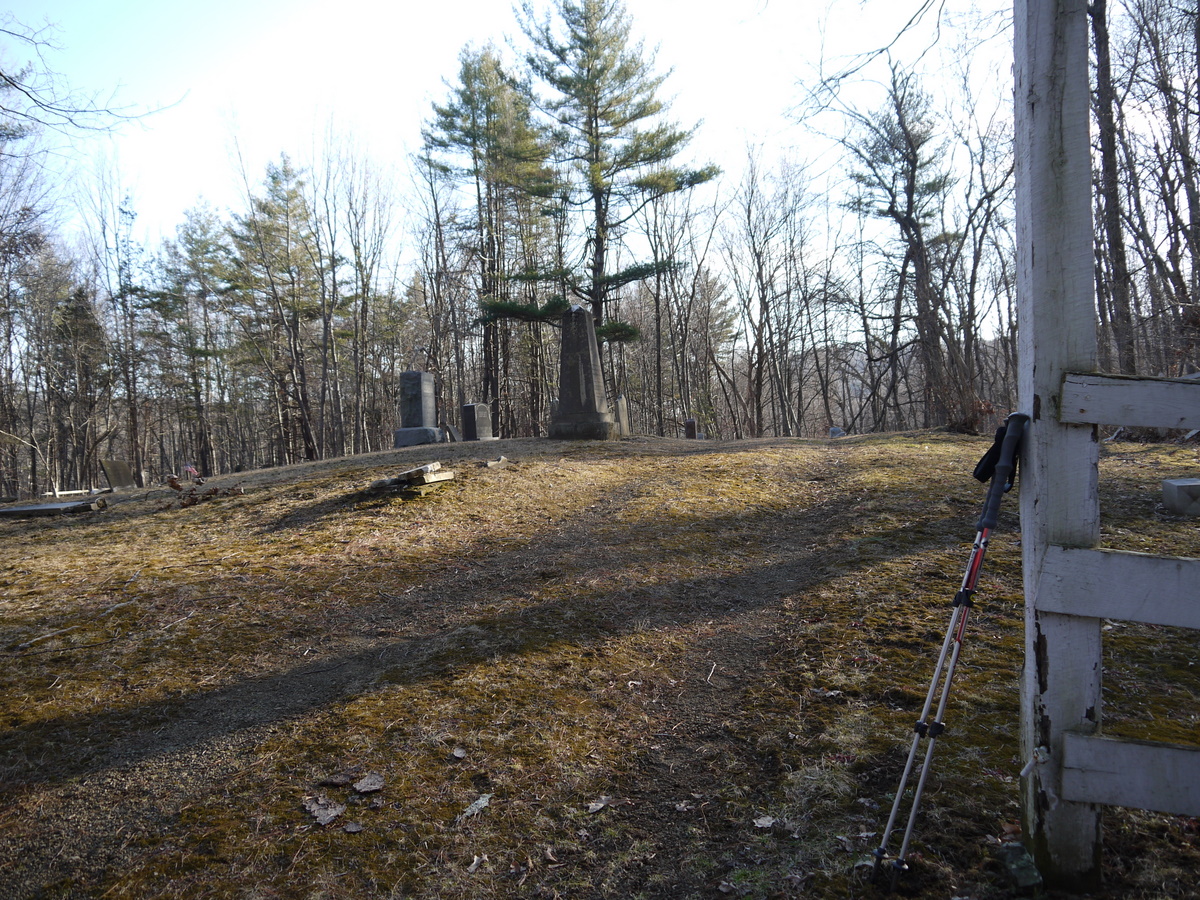
Speaking of the end...here's a small cemetery near the parking lot, just barely visible from the trail. Do you see my trekking poles in that photo? I remember thinking, "I better not forget them on my way out." Ha ha ha.

Old tombstones are neat. There are some in this cemetery you can't even read.

No comments:
Post a Comment